Precision in Motion: Delivering Reality Capture at Unparalleled Speed
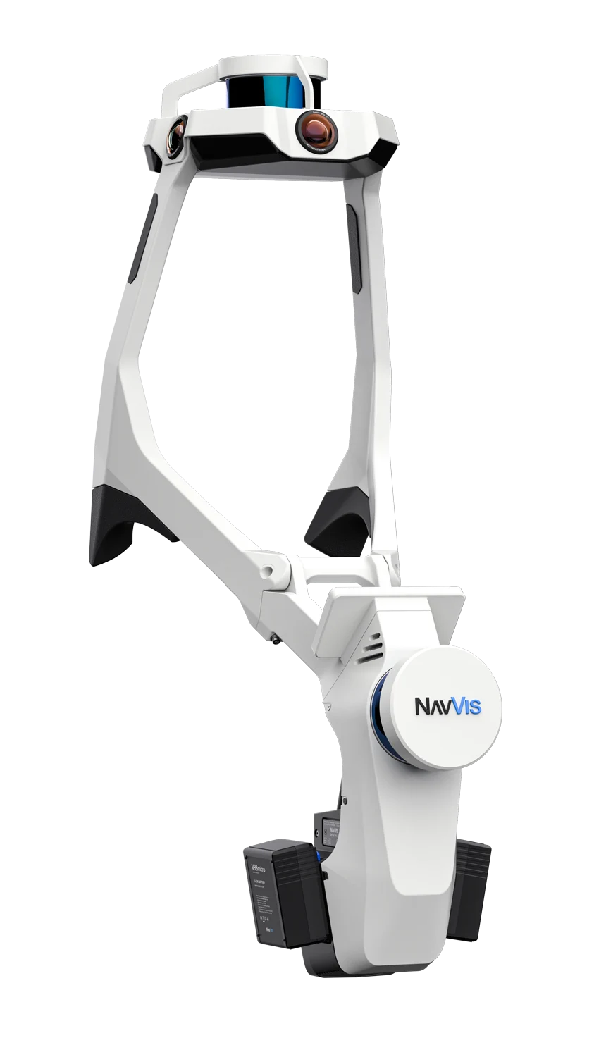
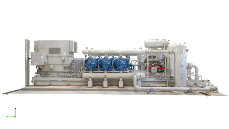
By utilizing Simultaneous Location and Mapping (SLAM) technology, our Mobile Laser Scanning and Mapping system is capable of scanning an area in a fraction of the time required with terrestrial laser scanning. With up to 6mm accuracy, this makes our mobile laser scanning and mapping services the optimal choice for capturing large areas both indoors and outdoors. The photo-realistic colorized point clouds can be used for project planning, remote collaboration, creating digital twins, and to create 3D immersive environments.
| NavVis VLX | TLS Device | |
|---|---|---|
| Capture time | 0h25m | 2h01m |
| Panorama images | 152 | 21 |
| Raw data (GB) | 9.8 | 2.2 |
| Processed data (GB) | 38.0 | 35.2 |
| Full point cloud (e57) | 7.8 | 7.1 |
| e57 (GB) (5 mm point density) | 1.9 | 1.3 |
| Number of points | 74,147,621 | 44,987,455* |
Side by side comparison data provided by NaVvis.

Discover the advantages of our mobile laser scanning services for your projects.
Always-On Data Access: With our cloud-hosted data solutions, access to your project information is never more than a click away. This constant availability facilitates uninterrupted remote collaboration across your project teams, wherever they may be.
Cost Savings and Competitive Edge: Adopting a digital twin approach significantly reduces the need for physical onsite data collection, minimizing travel-related expenses and enabling more precise project cost estimations with round-the-clock virtual site access. This not only cuts costs but also provides our clients with a substantial competitive advantage.
Architecture, Engineering, and Construction (AEC)
Enhanced Collaboration: Beyond standard cloud applications, our Mobile Laser Scanning and Mapping services generate detailed point cloud data that can be seamlessly integrated into Building Information Modeling (BIM) systems or other digital twin technologies. This integration fosters improved collaboration among architects, engineers, and contractors, leading to a unified understanding of project metrics and streamlined project execution.
Government
Infrastructure Management: Mobile Laser Scanning and Mapping is a valuable tool for managing and maintaining infrastructure. Detailed scans help in assessing the condition of roads, bridges, and public buildings, facilitating proactive maintenance, and improving asset longevity.
Disaster Management and Response: Mobile Laser Scanning and Mapping is a vital tool for disaster preparedness and response. It can quickly provide accurate and comprehensive scans of disaster-affected areas, aiding in efficient response planning and damage assessment, which is crucial for timely and effective recovery efforts.
Insurance
Improved Property Assessments: Insurers can leverage Mobile Laser Scanning and Mapping to obtain precise measurements and detailed views of properties. This information is crucial for accurate risk assessment, policy pricing, and minimizing uncertainties about property conditions.
Quick and Accurate Claims Processing: In the aftermath of events like accidents or natural disasters, Mobile Laser Scanning and Mapping allows insurers to quickly gather data about damages without the need for physical site visits. This speeds up the claims process and helps ensure that settlements are fair and based on solid data.
Fraud Prevention: The detailed and objective data provided by Mobile Laser Scanning and Mapping can serve as a benchmark for validating claims. This makes it harder to falsify damage reports or exaggerate claims, thereby helping insurers detect and prevent fraud.

Get Started Today
Take the First Step to Elevate Your Projects to the Next Level
Discover the Optik advantage! Contact us today to see how our mobile laser scanning/mapping services can take your projects further.